Regional Transportation Plan

What is the Regional Transportation Plan?
The purpose of the Regional Transportation Plan (RTP) is to identify how the Corvallis Metropolitan Area will meet the needs of the transportation system over a 20-year planning horizon. The RTP contains projects and policies to guide the development of a multi-modal transportation system (including transit, highway, bicycle, pedestrian, and accessible transportation) which meets the region’s economic, transportation, development and sustainability goals, while remaining fiscally constrained.
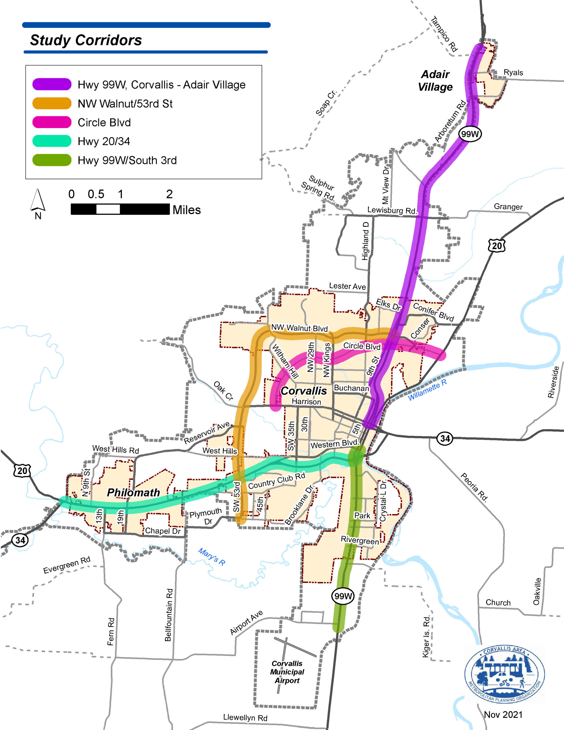
2043 RTP Study Corridors
Early in the RTP process CAMPO members agreed to focus planning analysis on five regionally significant travel corridors (illustrated in the figure to the right). This decision was made because all member jurisdictions had recently updated their local Transportation System Plans (TSPs) which meant there was less need to focus on local roadways. This gave CAMPO the flexibility to narrow in on key regional travel corridors.
CAMPO 2043 Regional Transportation Plan (Adopted February 9, 2022)
2043 RTP Project Library
Project Priorities Survey Materials
RTP Goals and Metrics Materials
Open House Slides
- January Virtual Open House Slides (Jan. 10, 2022 slides, click to view)
- October Virtual Open House Slides (Oct. 25, 2021 slides, click to view)
- July Virtual Open House Slides (July 20, 2021 slides, click to view)
Project Background
- Actualización del Plan Regional de Transporte (haga clic aquí)
- Project Overview Page (click to view)
- CAMPO RTP Scope of Work (click to view)
- RTP Public Engagement Memo (click to view)
- RTP Update Schedule (click to view)
Project Videos
Previous Regional Transportation Plan Documents
- CAMPO 2040 RTP (Replaced by 2043 RTP)
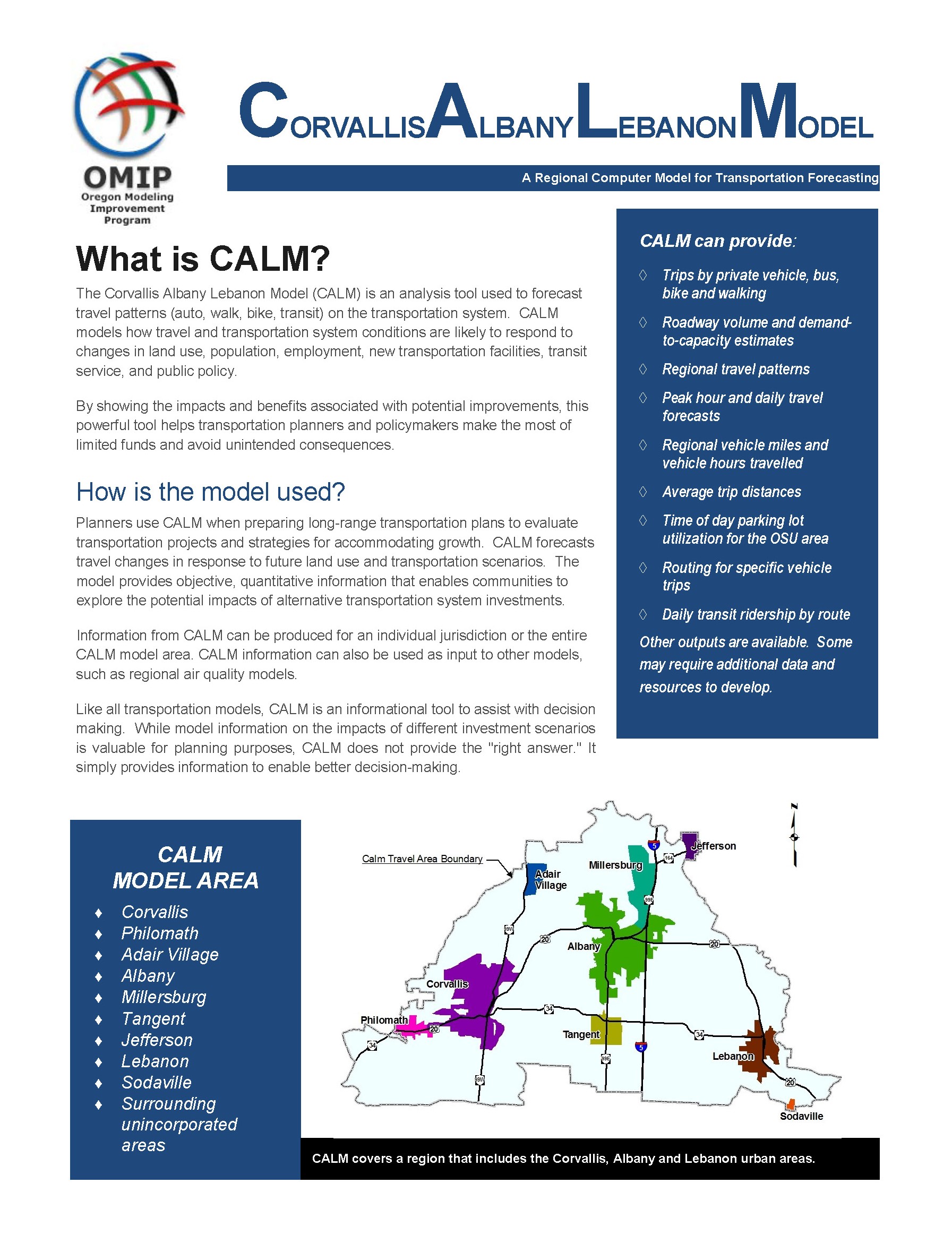
Corvallis Albany Lebanon Model (CALM)
As a small MPO, CAMPO uses a Travel Demand Model developed and managed by the Oregon Department of Transportation’s (ODOT) Transportation Planning and Analysis Unit (TPAU). CAMPO reviews data to make sure it accurately reflects what’s on the ground and provides feedback on model assumptions. TPAU handles direct editing and modifications to the model.
The Corvallis Albany Lebanon Model (CALM) is a four step demand model which was developed using Portland Metro’s regional model as a template. CALM also has a University overlay to account for unique land use and travel patterns on and around the OSU campus.
TPAU and CAMPO are currently in the process of updating CALM to use 2019 American Community Survey data and incorporate other changes which have taken place since the last update.


